
Flood Forecasting part 1
MAP-Rain is an existing flood forecasting and rainfall prediction solution based on the proven Meniscus Analytics Platform (MAP) which is a high performance, generic, Big Data, cloud based real time calculation/analytics platform.
MAP-Rain is a generic and initial solution for flood forecasting and integrates additional datasets and models from the existing systems, APIs and databases already used and developed as well as a range of new datasets.
MAP-Rain delivers the following real-time flood forecasting solutions:
flood forecasting
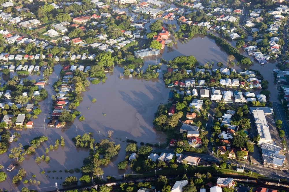
- Real-time prediction of flooding in sewer networks by using simplified hydraulic models, real-time actual radar-based rainfall, forecast rainfall and sewer pumping station operational data. MAP is currently able to process over 6,000 sewer catchments with the latest rainfall data within five minutes.
- Aggregating real-time radar rainfall data (five-minute updates for 65,000 km2 at 1km2 pixel resolution) into over 1,000 polygon based sewer catchments. Used by modellers to build a range of hydraulic models. Calculating a range of rainfall related metrics for each polygon.
- On Demand calculation of rainfall return period calculations (using the Flood Estimation Handbook FEH methodology) for any point in a region for any time during the past three years and comparing this result to a similar calculation from the local Environment Agency rain gauge.
- Integrating an open source complex third party pollution transportation and hydraulic model (Soil and Water Assessment Tool) to predict the impact that rainfall has on pesticide runoff (in particular metaldehyde) concentrations at key water abstraction points in sensitive river catchments.
MAP-Rain is also being used to as part of an InnovateUK funded Smart City project (Hyperlocal Rainfall) looking to increase the use of sustainable transport in cities. This solution predicts the path of actual rainfall over the course of the next hour, at five-minute increments, and relates this to specific journeys that users can create. The aim being to increase the use of cycling and walking by answering the question, “Will it rain during my journey”? This solution uses a combination of real-time radar rainfall data, local wind speed and direction data from an existing local network of weather stations and high altitude wind forecasts. The radar rainfall data is also being ground truthed to local rain gauge data to increase accuracy. As part of this Hyperlocal Rainfall project Meniscus has developed an Android mobile app for users to create journeys and to track and plan journeys around rainfall. MAP-Rain is integrating a third party personalisation engine developed to learn users’ behaviour and to personalise the app based on insights learnt by the engine. The project is initially focused around Peterborough but is also being tested using the entire radar rainfall dataset for England and Wales.