
Hyperlocal Storm – predicting high intensity storms at any location
Hyperlocal Storm
Hyperlocal Storm tracks high-intensity rainfall, in near real-time, and predicts the movement of the storm for the next hour at 5-minute intervals.
We then overlay this information with a map of all urban extents in the UK to identify ANY village/town that will be affected. For major urban areas, we are generating alerts at the postcode sector level.
This service will be of particular interest to Councils and Companies covering large rural areas or having large numbers of locations dotted around the country.
The image below shows an example of the urban extents and postcode sectors around the Leeds area.
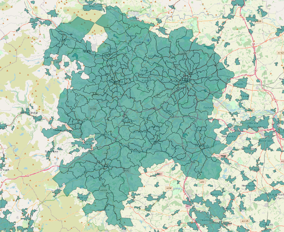
Example of urban extents around the Leeds area
Why is this different – what is the benefit?
At present, using our MAP Rain point or polygon alerts, we identify rain events happening over the next 30 hours using forecast data. But, we need to know the location of that point or polygon.
With Hyperlocal Storm, we can identify any area at risk, without having to set that area up beforehand. So, for large rural areas, like Lincolnshire, we can predict these storms for any urban area across the 20,000+ km2 council area.
Next steps?
We are finalising testing at the moment and trying to work out the best way to visualise this information and/or share it with partners. This is where we need some help. We are keen to understand how users might want to use this information and share it within their organisations or with residents.
More information on MAP Rain click here